

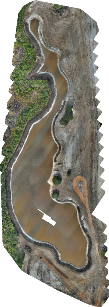
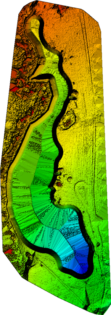

Project Maps
We Provide site mapping for your project

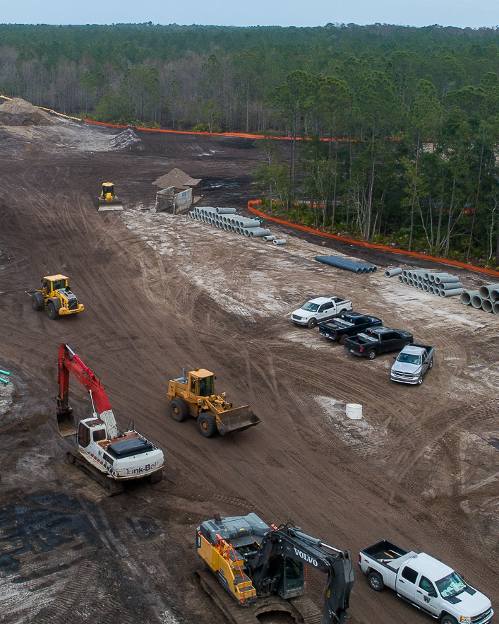
Jobsite Inspections
Same Day Aerial Views

Learn to Fly
Drone flight classes
Project Maps
We Provide site mapping for your project
Jobsite Inspections
Same Day Aerial Views
Learn to Fly
Drone flight classes