
Daytona Beach Drone Construction Documentation
mdpAIR provides professional drone photography and aerial video for construction documentation in Daytona Beach, Florida. From progress updates and site-condition records to visual confirmation for owners, contractors, and project teams, our aerial services create a clear view of work taking place on the ground.
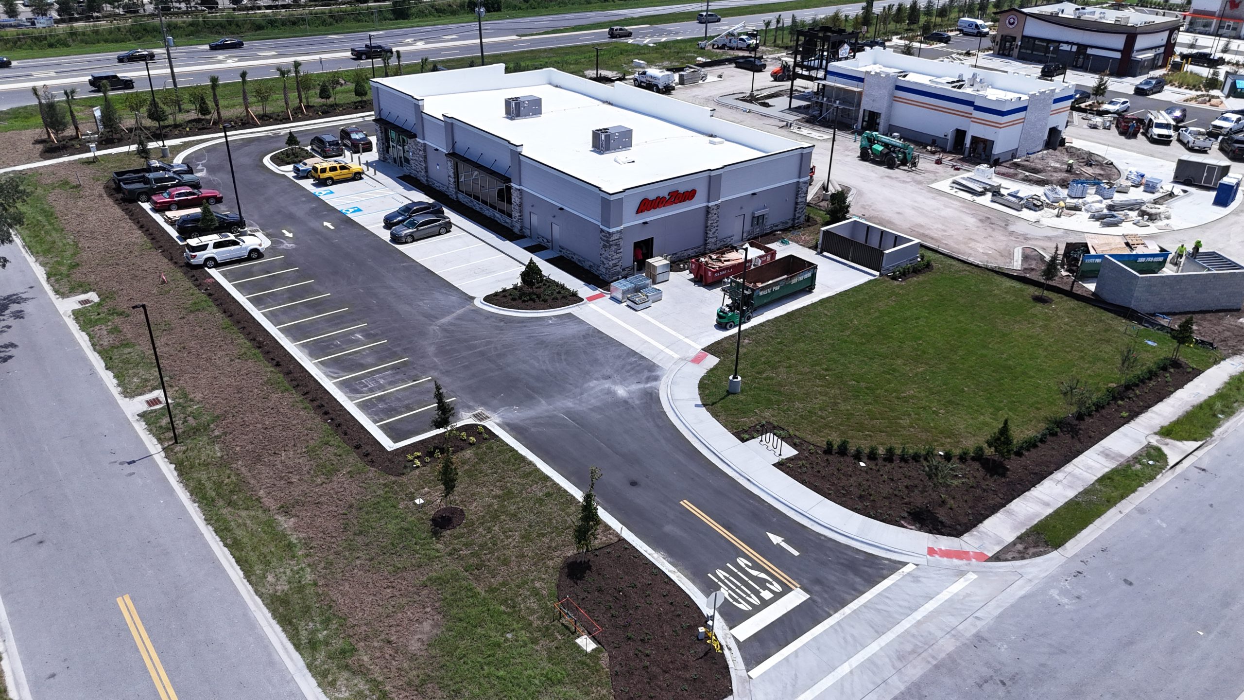
Local project example on LPGA Boulevard
mdpAIR recently filmed a building on LPGA Boulevard for construction confirmation related to an AutoZone project. The aerial footage created a visual record of the building and surrounding site, helping the project team review conditions from angles that are difficult to capture from ground level.
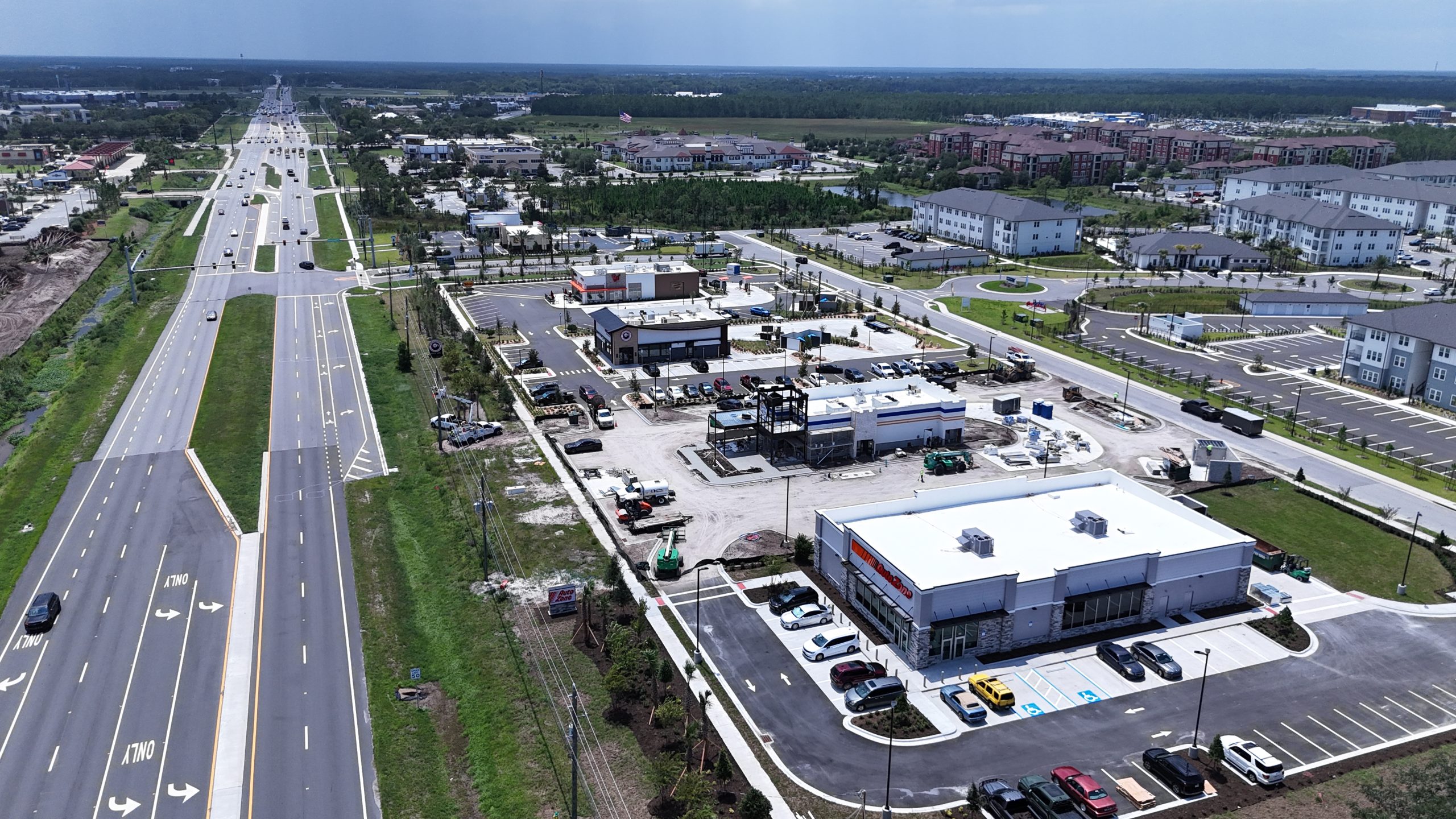
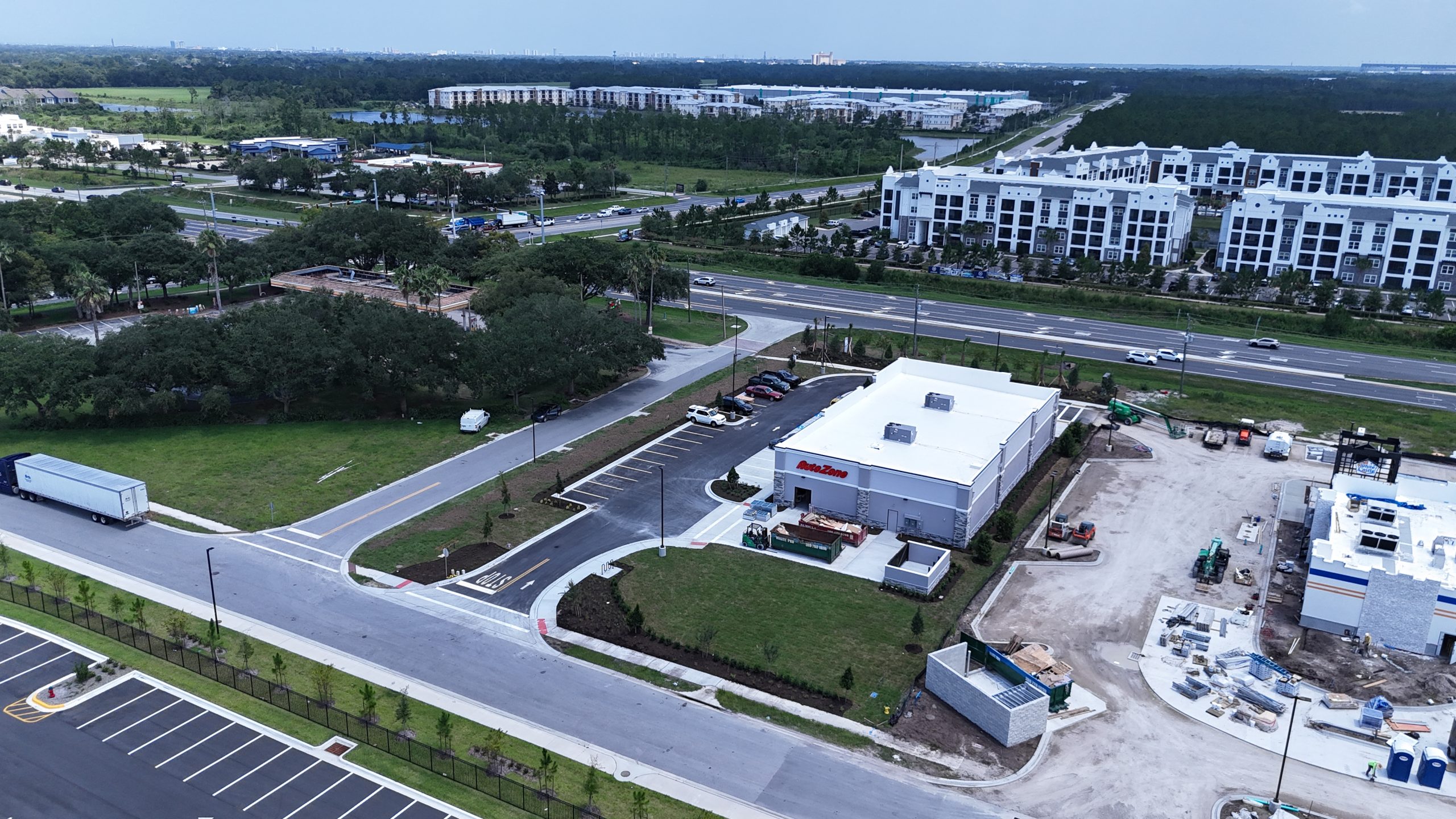
AutoZone is identified only as the project location or brand associated with the site; this page does not imply an endorsement or direct client relationship.
Construction drone services in Daytona Beach
- Construction progress photography and video
- Building and roof-condition documentation
- Site overview imagery for remote stakeholders
- Pre-construction and post-construction visual records
- Property diagrams, mapping, and 3D-model support
- Marketing-ready aerial footage for completed projects
Why aerial construction documentation helps
Aerial imagery gives owners and construction teams a repeatable overview of a project. Scheduled flights can show progress over time, document visible site conditions, support status reports, and make it easier to communicate with people who cannot visit the property. Drone photography can complement—not replace—required inspections, surveys, engineering work, or other licensed professional services.
Serving Daytona Beach project areas
We support projects throughout Daytona Beach, including the LPGA Boulevard corridor, International Speedway Boulevard, beachside properties, commercial districts, residential communities, and nearby industrial areas. mdpAIR also serves surrounding Volusia County communities when project requirements and flight conditions allow.
FAA-certified local drone operations
mdpAIR flights are performed by FAA Part 107-certified pilots. Every project is planned around the location, airspace, weather, site access, safety requirements, and the deliverables the customer needs.
Frequently asked questions
Can you document construction progress on a schedule?
Yes. Flights can be planned at agreed milestones or recurring intervals, subject to weather, airspace, and site conditions.
What can you deliver?
Available deliverables may include high-resolution aerial photographs, edited video, overview footage, and project-specific visual documentation.
Do you work with contractors and property owners?
Yes. mdpAIR can coordinate with contractors, owners, managers, developers, and other authorized project contacts.
Can drone footage replace a formal inspection or survey?
No. Our imagery is valuable for documentation and visual review but does not replace work that must be performed by a licensed inspector, surveyor, engineer, or other qualified professional.
Request Daytona Beach drone services
Tell us the project address, desired flight timing, site contact, and the photographs or video you need. Contact mdpAIR at HELLO@mdpAIR.com or 386-316-0917.