Drone Projects and Case Studies
Explore how mdpAIR uses current aerial photography and video for construction, property decisions, inspections, infrastructure, news, film production, and remote site review.
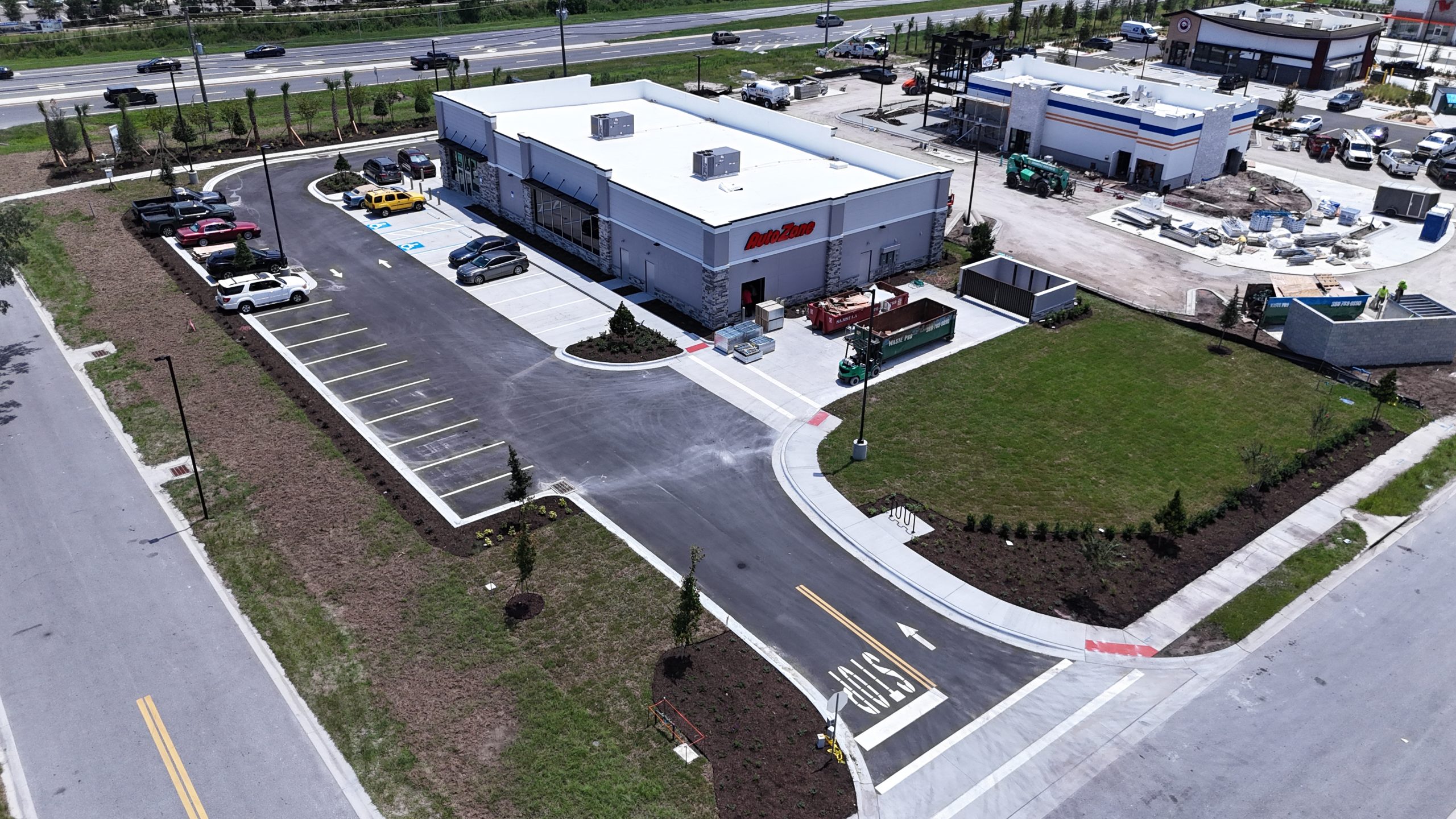
Construction
AutoZone Construction Documentation
Aerial confirmation and site-progress imagery captured along LPGA Boulevard in Daytona Beach.

Planning
Height-View Visualization
Views from proposed elevations helped a client evaluate sightlines before a building existed.

Site Scouting
Remote Site Scouting
Local flights provided fresh area views and saved a client more than $1,500 versus estimated travel.

Due Diligence
Gas Station Buyer Review
A prospective buyer reviewed the roof, visible tank vents, access areas, and entire property.

Roofing
Three-Story Roof Bid
An Orlando roofer evaluated a distant opportunity before driving out or setting up a ladder.

Roofing
Port Orange Roof Visuals
Clear aerial imagery documented visible roof surfaces and difficult-to-see areas.

Paving
Paving Visual Documentation
An overhead record showed paving conditions, surface context, and the overall work area.

Infrastructure
Enertech Cell Tower
Aerial work documentation captured the tower, equipment area, site, and visible conditions.
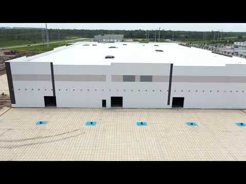
Editorial
Amazon News Footage
Aerial establishing footage showed the distribution center’s scale and surrounding context.
Film Production
Footage Used in Crawl
A mdpAIR aerial-footage portfolio example associated with the feature film Crawl.
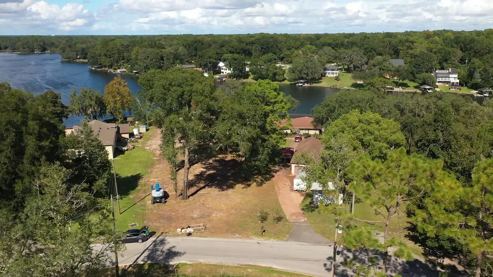
Land Clearing
Land Clearing and Tree Cutting
Aerial imagery documented the cleared work area, remaining trees, access routes and surrounding property conditions.
Have a project that needs a better view?
Tell us the location, questions the imagery should answer, deadline, and preferred photo or video deliverables.